
Quick Links:
Where Arkansas Comes Together
Central Arkansas is the heart of the state—From bustling urban centers to scenic trails, Metroplan fuels progress.
Arkansans living in Central Arkansas
1 in 4
Cities and counties represented at Metroplan
28 cities and 5 counties
Miles driven each day in Central Arkansas
26 million
Miles of shared use bike/ped paths
102
Metroplan in Action
`Metroplan is where regional leaders come together to build a more connected, prosperous, and livable future through long-range transportation planning, safer streets for all users, and data-driven strategies for smart growth.
Long-Range Metropolitan Transportation Planning
Metroplan develops the Central Arkansas Metropolitan Transportation Plan — setting priorities for the next 20+ years.

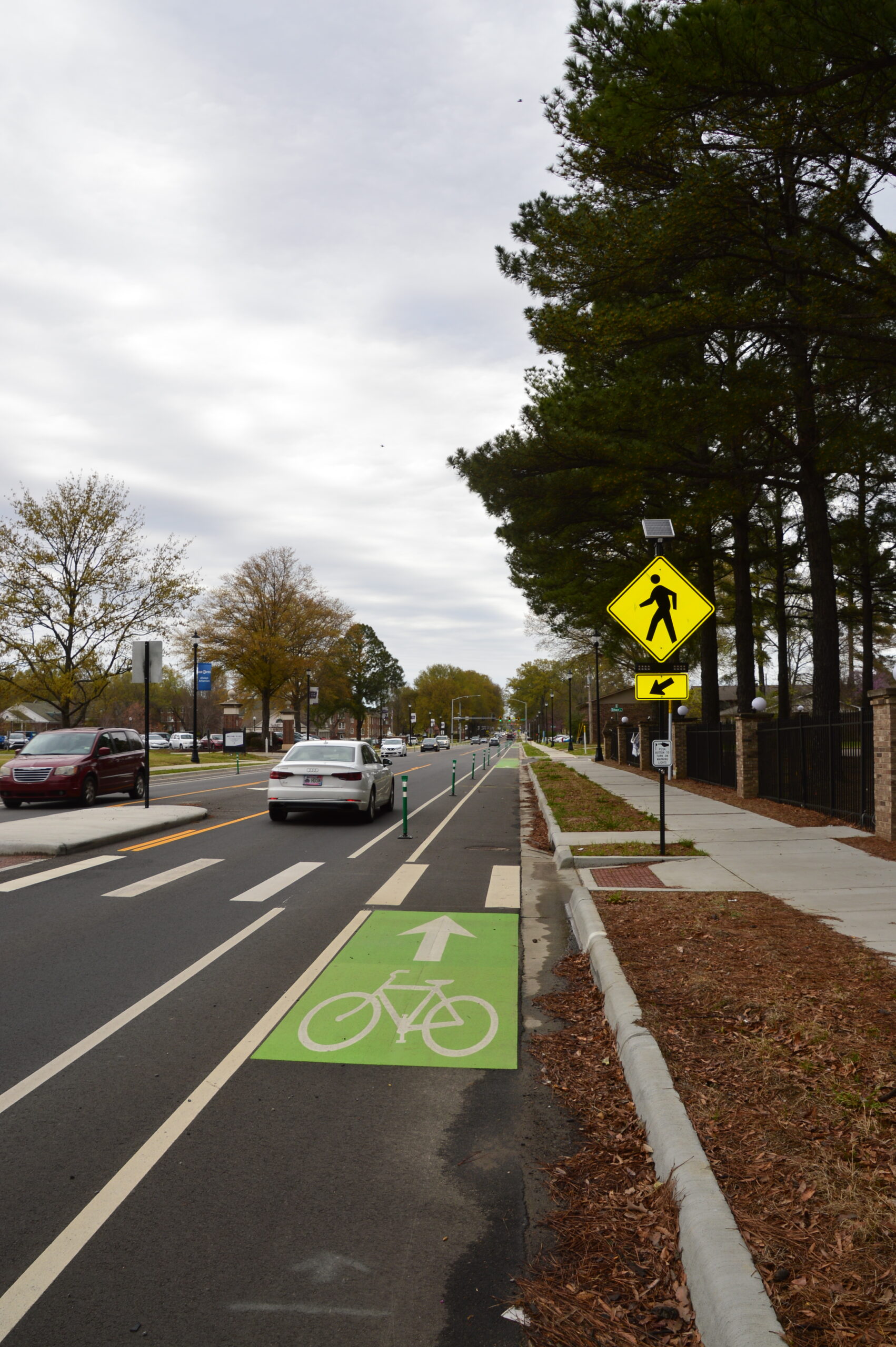
Active Transportation & Complete Streets
We champion designs that make streets safe and usable for everyone — walkers, bikers, bus riders, and drivers.
Data-Driven Growth Management
Our annual Metrotrends demographic and economic reports help communities plan smarter with up-to-date data.
Regional Collaboration
Metroplan is a forum where city, county, and transportation leaders work together to tackle growth, equity, mobility, and housing challenges.

Recent Posts
September 30, 2025
Annual Report 2024